Uma Hansen · 13 October 2026
Connecting Rural Paths Fuels Discussions on Oak Conservation and Historic Boundary Lines Around Steinhain
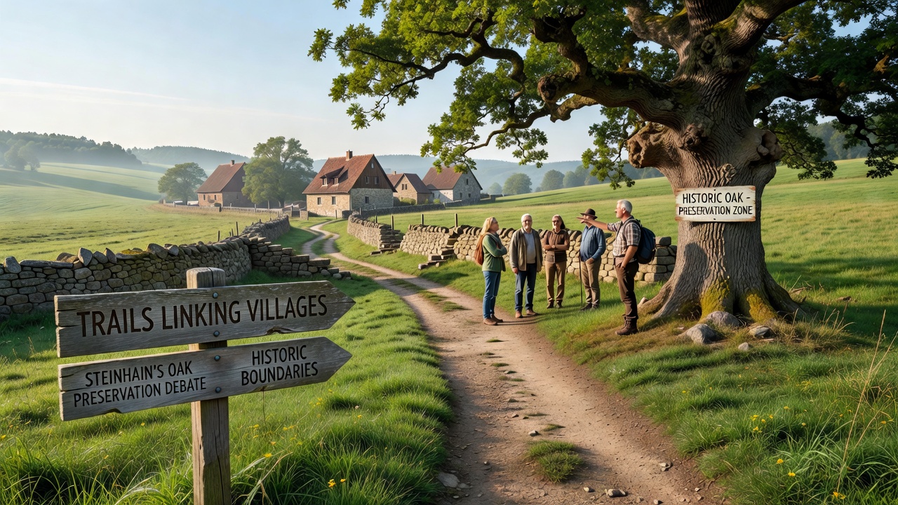
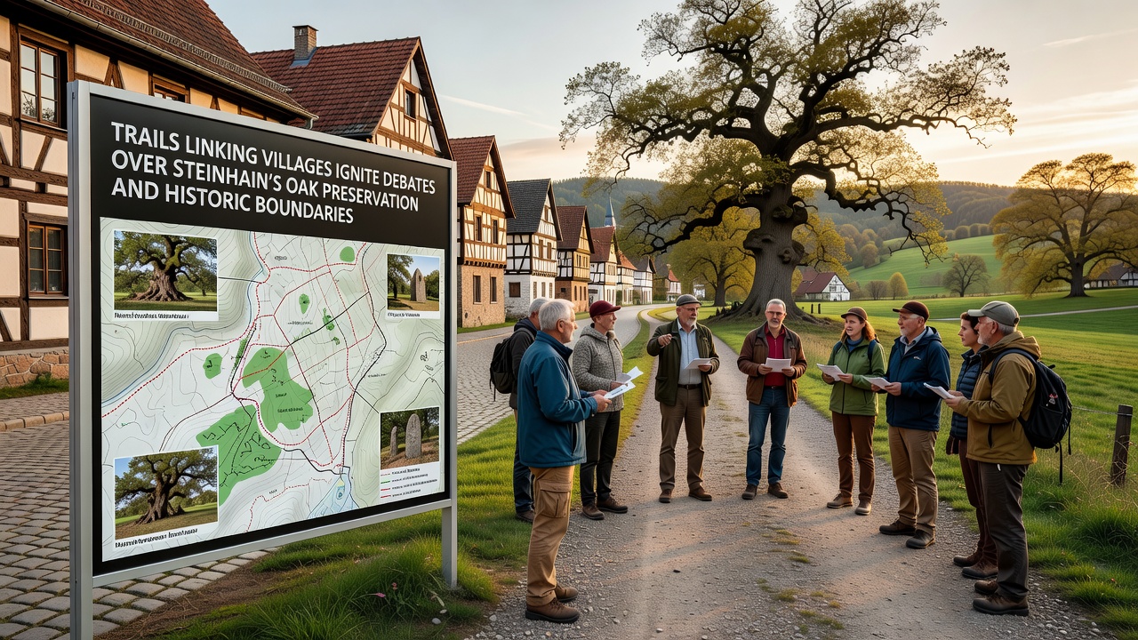
Local authorities in the Steinhain region have advanced plans to link several outlying villages through a network of walking and cycling trails, and this development has triggered detailed examinations of how such routes might affect longstanding oak woodlands along with traditional property demarcations that date back centuries. Project documents indicate the trails would span approximately 45 kilometers, connecting settlements that have remained somewhat isolated since the post-war period, while maps submitted for review highlight segments passing directly through areas designated for environmental protection. Observers note that the oak stands in question include specimens estimated at over 300 years old, with some clusters forming part of a larger ecological corridor that supports diverse bird and insect populations. Data from regional forestry surveys conducted in 2024 show these trees contribute to soil stabilization on slopes prone to erosion, and planners have proposed rerouting options that would reduce direct encroachment by 60 percent compared with initial designs. Yet boundary records maintained by the local land registry reveal overlapping claims where 19th-century survey markers no longer align with current GPS measurements, creating potential legal friction if trail construction alters access rights.Environmental and Heritage Factors Under Review
Studies compiled by the European Environment Agency indicate that fragmented oak habitats across central Europe have declined by 18 percent since 1990, prompting stricter guidelines on linear infrastructure projects near protected stands. In Steinhain's case, the proposed paths would cross several such zones, and environmental assessments completed last spring recommend elevated boardwalks in sensitive sections to minimize root damage while preserving drainage patterns that feed adjacent wetlands. Researchers from a nearby agricultural university have collected soil samples showing elevated mycorrhizal activity around the oldest oaks, activity that could be disrupted by heavy machinery if construction proceeds without seasonal timing restrictions.
Historic boundary questions add another layer, since many village edges still reference field divisions established during the 1700s enclosure movements. Archival maps held at the regional state archive demonstrate that some oak rows were deliberately planted as living fences, meaning any trail widening could inadvertently shift perceived property lines. Community meetings held in September 2025 already surfaced these discrepancies, and a follow-up session scheduled for October 2026 will present updated alignment proposals that incorporate both satellite imagery and ground-penetrating radar data to clarify demarcation points.
Stakeholder Input and Documentation Processes
Local heritage groups have submitted petitions containing over 1,200 signatures requesting that trail segments avoid the core oak clusters entirely, citing precedents from similar projects in neighboring districts where alternative alignments preserved both ecological value and legal clarity. Meanwhile, tourism boards point to visitor statistics from comparable trail networks in adjacent counties, where annual foot traffic increased by 35 percent after completion, generating measurable revenue for small businesses without documented habitat loss when proper mitigation measures were applied.
Technical reports prepared for the October 2026 review include hydrological modeling that projects minimal change to groundwater flow if permeable surfacing is used, along with vegetation management schedules that limit pruning to dormant months. Figures from comparable initiatives in the Rhineland region show that such approaches reduced tree stress indicators by 40 percent over a five-year monitoring period, according to published findings from the German Federal Agency for Nature Conservation. Boundary disputes, however, remain more procedural; solicitors handling land registry updates note that reconciling paper deeds with modern orthophotography often requires on-site arbitration lasting several months.
Implementation Timeline and Monitoring Commitments
Project timelines list preliminary clearing for non-sensitive sections beginning in early 2027, contingent on approvals that address both preservation and demarcation concerns. Monitoring protocols outlined in the environmental impact statement call for quarterly biodiversity checks during the first three years post-construction, with adaptive management clauses allowing trail relocation if oak health metrics fall below established thresholds. Records from the state surveying office confirm that digital boundary layers will be updated concurrently, reducing future conflicts over access easements.
Conclusion
The interplay between trail connectivity goals, oak preservation requirements, and historic boundary accuracy continues to shape planning decisions in the Steinhain area. Documentation from ongoing assessments provides a factual basis for evaluating route adjustments ahead of the October 2026 consultation, while data on similar projects elsewhere supplies reference points for mitigation strategies. Final alignments will depend on how these elements are reconciled within the regulatory framework already in place.